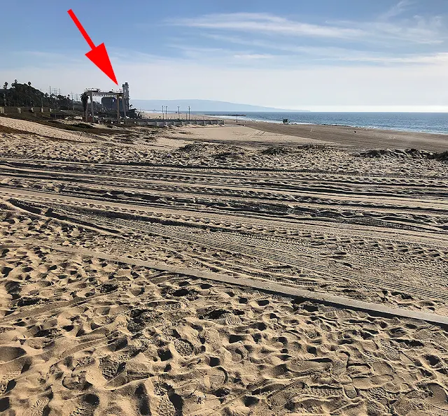
Stopped at the hang glider spot on the way to the pier.
Made a slight adjustment to the rear derailleur cable to improve the shifting...
This is looking north from the hang glider spot.
Looking south from the hang glider spot.
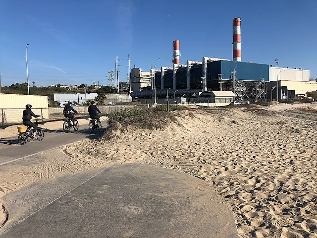
Near the hang glider spot is the power plant.
The green dotted line is where the bike path goes...
Along the lower part of the power plant, there's a straight stretch of the bike path along the properly line that's a good for a "sprint" or "time trial" type of riding, if that's desired...
Sometimes, I bring up the perceived effort from about 60% to about 80% through this stretch, if I'm feeling good...
At the Dockweiler beach parking lot, there was some people trying out a wind-board. The wind wasn't too strong at this spot so they were going pretty slow...
The retaining wall in the location where I switch from the bike path to the service road appears to be finished.
I didn't notice any construction machinery any more...
Looking down the service road. It's straight & I stay on it for about a mile or so...
Bike path on the left and the service road on the right.
Stopped at the bike path bridge at Marina Del Rey.
This is where the bike path turns away from the ocean and starts following Ballona Creek inland...
Ballona Creek on the right & Marina Del Rey on the left.
Water on both sides for about 1/4 mile or so...
It's straight and usually the wind is pushing you from behind.


No comments:
Post a Comment